8 Days in the Canadian Rockies
This post may contain affiliate links; please read my disclosure policy.
A few years ago, my now husband and I were fresh out of college, in a long distance relationship, and in desperate need for an adventure. We decided to go big, and head up north to the Canadian Rockies.
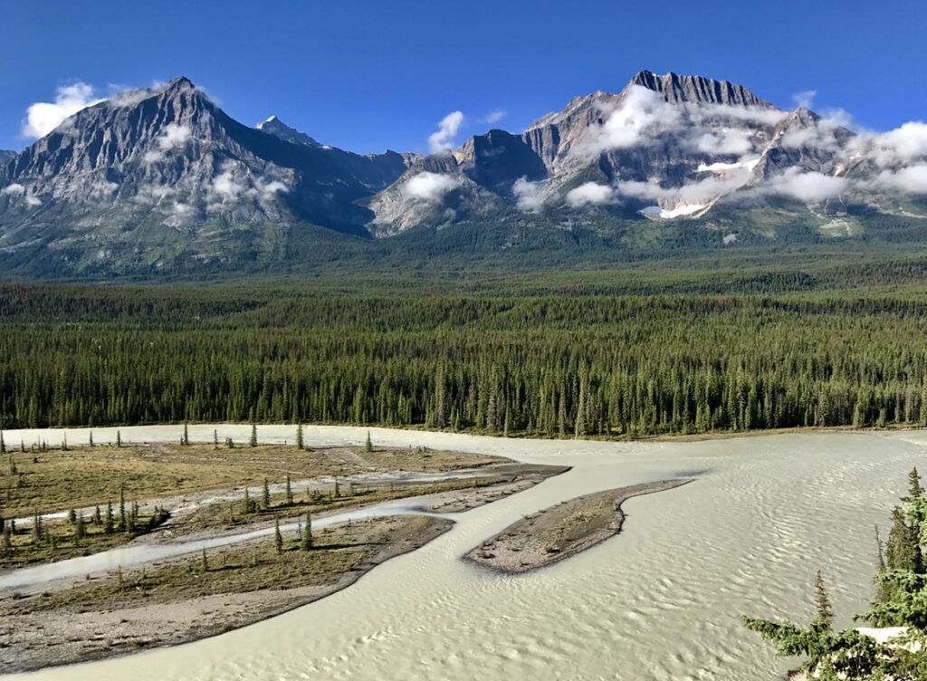
When researching for this trip, Banff seemed to get all the glory when people talk about traveling to the Canadian Rockies. A friend mentioned Jasper National Park, so out of curiosity I looked it up. Jasper National Park encompasses 11,000 square kilometers (4,200 square miles), which is 21% larger than Yellowstone National Park, one of America’s largest national parks. The park offers glaciers of the Columbia Icefield, springs, alpine lakes, waterfalls, and of course – mountains.
Banff National Park is connected to Jasper via the Icefields Parkway (more on that later). Banff is 6,641 square kilometers (2,562 square miles) in size and offers alpine lakes, glaciers, waterfalls, and incredible forests. Both parks have towns within them that have hotels, restaurants, gas stations, grocery stores, etc. so you have access to modern amenities and aren’t completely cut off. If that’s your cup of tea, there are endless backpacking opportunities. The alpines towns are (shocker) Jasper and Banff.
We decided to spend a week in Canada at the beginning of September and split our time between Jasper National Park and Banff National Parks. While there, we also ended up going to Yoho National Park. The three parks neighbor one another and are located on the border of British Columbia and Alberta. Living in Colorado, I was eager to see what the Canadian Rockies had to offer.
Canadian Park Pass
I highly recommend purchasing a Discovery Pass which is good for all National Parks in Canada. The pass is $150 with shipping, if you purchase it before your trip. We planned a trip months in advance, so I ordered one ahead of time, hoping we could get into the parks easier from the beginning.
Day 1 – Travel Day
We had a flight out of Denver bright and early on the first day of our trip and flew into Calgary, Alberta Canada. After landing, going through customs, and picking up the rental car, we headed into the city for some lunch and to get supplies. I wish I could remember where we ate, it was an amazing sushi restaurant with an incredible outdoor patio.
For our trip, we decided to start with Jasper and then make our way back south towards Calgary through Banff. It’s about a five hour drive northeast to Jasper through Banff and about six hours if you drive north around the Banff and then head northeast. We wanted to see as much of the parks as we could while on the trip, so we headed towards Banff. It wasn’t until later that afternoon that we realized we had spent too much time in Calgary.
Had we paid more attention to what time it was during the day, our plan was to have dinner in Jasper at the Jasper Brewing Company. Instead we found ourselves arriving at our campsite at 10pm and setting up our new tent (for the first time) in the rain. Oh, and it was pitch black outside. In our misery, it was clear this would be a memorable moment, and trip, for years to come.
Highlights of the Day
- Fly into Calgary
- Drive to Jasper National Park
- Dinner at Jasper Brewing Company
- Camp at Wapiti Campground ($40)
Day 2 – Jasper National Park
Our plan was to wake up on the second day of our tip and head into Jasper for some breakfast and we chose Tim Hortons. What’s better than coffee and a donut when you’re freezing and exhausted?
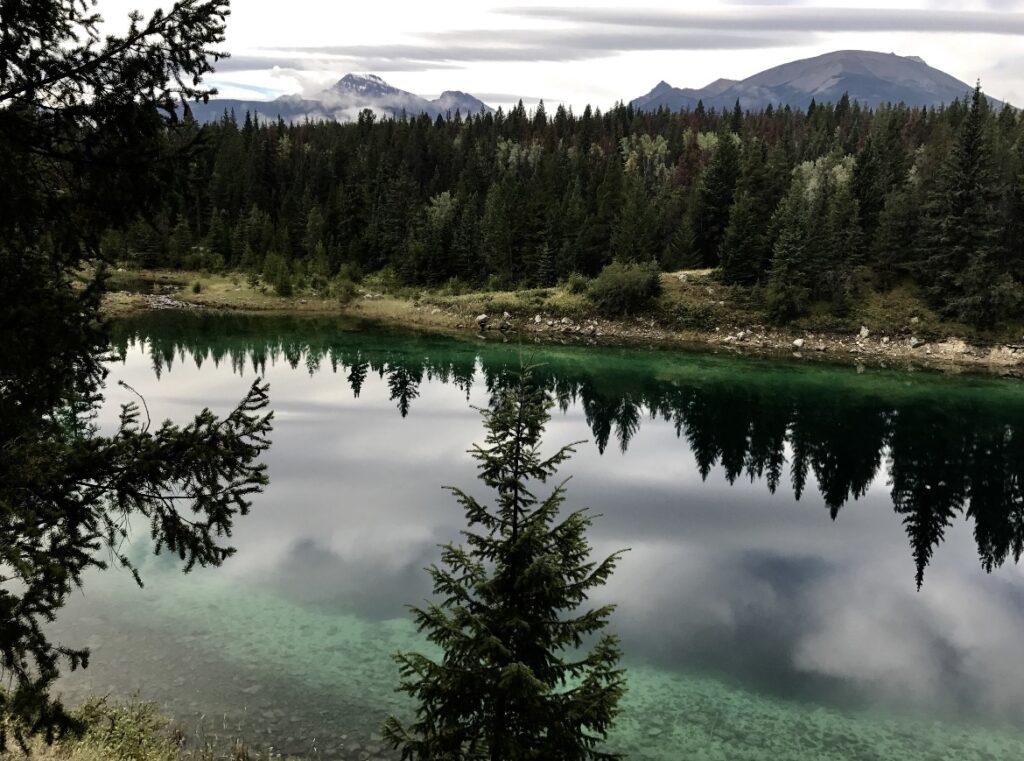
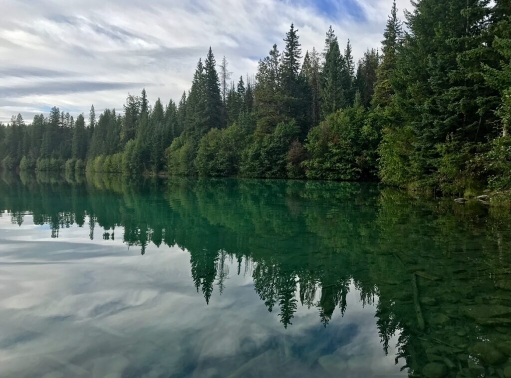
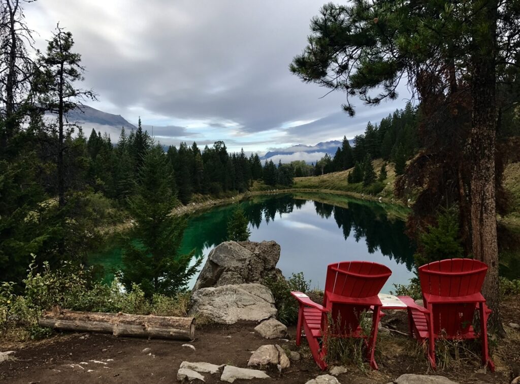
Fed and on our way, we drove about 15 minutes south to hike the Valley of the Five Lakes trail. This hike can be a short (2.9 miles, 531-ft elevation change) or long (5.1 miles, 797-ft elevation change) loop depending on if you want to see First Lake or not. The best view in my opinion is from the red chairs between Third and Fourth Lakes. BUT we did see otters swimming in First Lake and that’s pretty worth the extra milage in my opinion.
Afterwards, we drove back north through Jasper, an option would be to stop at Bear’s Paw Bakery for some snacks, and made our way to Pyramid and Patricia Lakes. There are a series of trails around these two lakes, but the viewpoints are incredible. I’d suggest parking at the Pyramid Island lot and walk the few steps out to the island to take it in. A friend suggested trying the Patricia Street Deli while in Jasper, and we’re so glad we did. The sandwiches were incredible and just what we needed after hiking all morning.
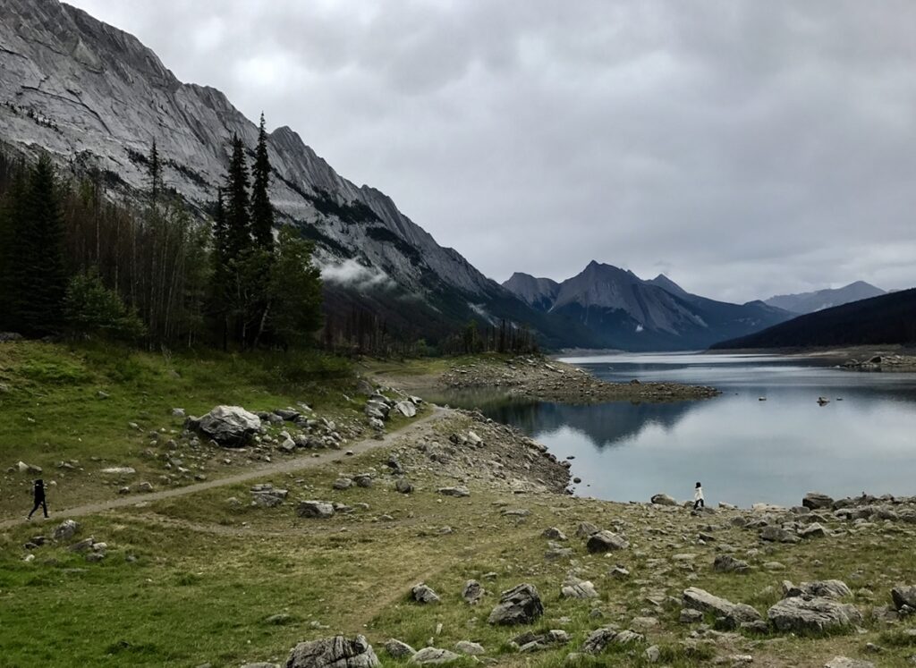
After lunch, you can hop back in your car and head east for the Maligne and Medicine Lakes scenic drive. Maligne Lake is about an hour from Jasper, passing Medicine Lake on the way. The view from both is incredible, and it’s unbelievable that you can get such amazing views from the lakeshore and viewpoints. Either on the the way to or from Maligne Lake, make sure you’ll stop and hike the Maligne Canyon loop.
Highlights of the Day
- Tim Hortons
- Valley of Five Lakes hike
- Bear’s Paw Bakery
- Pyramid & Patricia Lake hike
- Patricia Street Deli
- Maligne and Medicine Lake scenic drive
- Maligne Canyon hike
- Stay at the Mt. Robson Inn (varies between $100-300 depending on the day of week and season)
Day 3 – Jasper and Banff National Parks
North Half of the Icefields Parkway
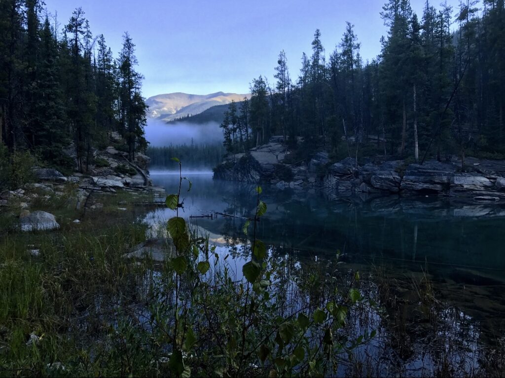
On the third day of our trip, we made our way south to Banff. The road from Jasper to Lake Louise is known as the Icefields Parkway and is one of the most scenic drives in the world. It takes about three hours with no stops, but we wanted to make a day of it and stop as many times as we wanted. First, we stopped at Horseshoe Lake. We hadn’t planned to stop here but saw the parking lot was empty and wanted to check it out. It was early in the morning, and incredibly peaceful.
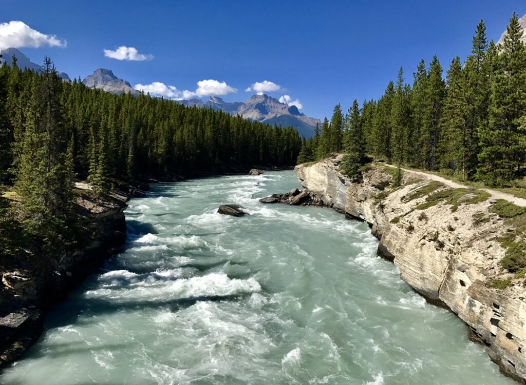
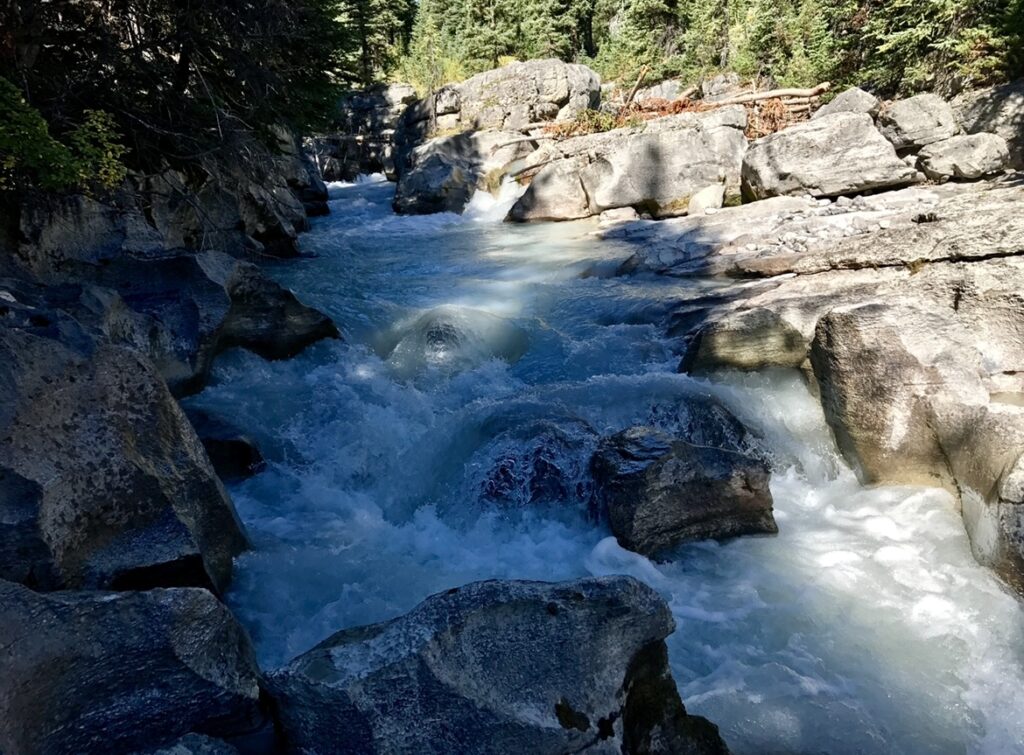
A few minutes south of Horseshoe Lake is the trailhead for Athabasca Falls. The falls are about a half mile walk roundtrip from the parking lot with a few other viewpoints worth stopping out. Another great stop is the Goats & Glacier Lookout with breathtaking views of the Canadian Rockies. One of the coolest spots on the Parkway was the Athabasca Glacier. It’s only about a mile-long walk to the glacier, and while the glacier is cool it was very eye opening to see the signs denoting the state of the glacier at various times. Another scenic option is Mistaya Canyon trail which is about a mile long easy hike with amazing views of the canyon and river.
South Half of the Icefields Parkway
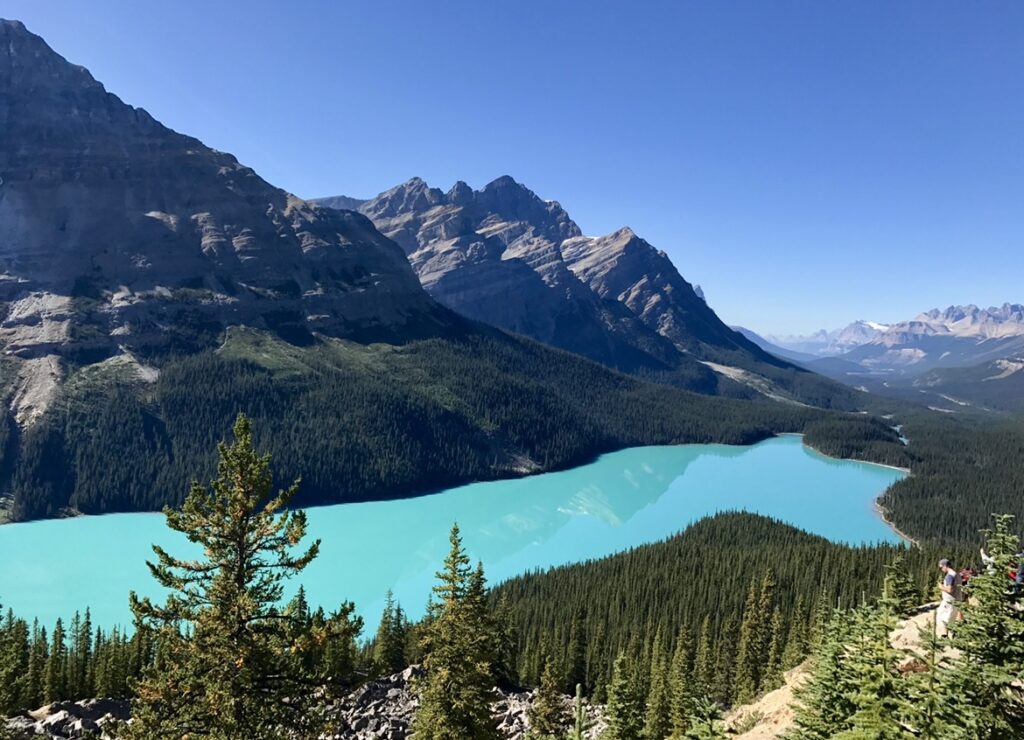
Further south, we stopped at Panther Falls. It’s just over a half a mile roundtrip to the waterfall and another 0.2 miles to a second waterfall, Bridal Veil Falls. The waterfall was breathtaking. Our next stop was the Peyto Lake overlook. It’s about 1.5 miles roundtrip, and provides one of the most unbelievable views throughout the Canadian Rockies. The water was bright blue and opaque, and if you don’t see it in person you might think its photoshopped.
One of the longer hikes of the day was at Bow Glacier Falls. At 5.5 miles with 977-ft of elevation change, this hike is considered moderate and has a little bit of everything.
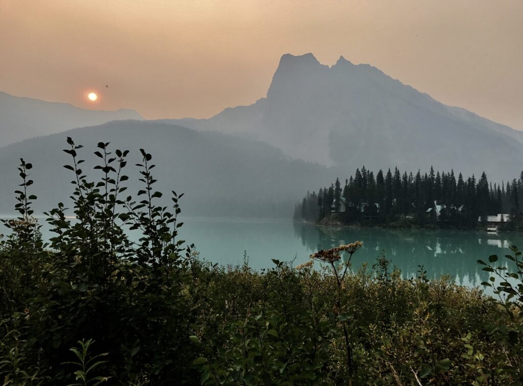
About 30 minutes west of Lake Louise is Emerald Lake which is located within Yoho National Park, also part of the Canadian Rockies. While on our trip, there were pretty bad wildfires in the area. When we got to Lake Louise, the smoke was a little thick for us, so we decided to head west toward Yoho to hopefully let the wind clear out some of the smoke. Unfortunately, the smoke at Emerald Lake wasn’t any better, so we missed out on the hike. From the Emerald Lake Lodge, you can hike along Emerald Lake to Emerald Lake Basin. Looking at other people’s photos we were bummed we missed out on this one, if you travel here make sure to stop at Emerald Lake for us!
There are a lot of other stops along the Icefields parkway, these are just the ones that caught our eyes. The beauty of scenic drives is you can stop wherever you want! We were shocked throughout the whole day by how easy it was to see all of the various landscapes the Canadian Rockies has to offer.
Highlights of the Day
- Horseshoe Lake
- Athabasca Falls
- Athabasca Glacier
- Mistaya Canyon
- Panther Falls
- Peyto Lake
- Bow Glacier Falls
- Emerald Lake
- Camp at Lake Louise Campground ($30)
Day 4 – Banff National Park
The fourth day of our trip was focused on seeing as much around Lake Louise as possible. This was not the most difficult hike we’ve ever done (thinking of Yosemite and the two 14ers I’ve hiked in Colorado), but definitely one that you need to be prepared for. When you’re at high elevations in the mountains, especially above the tree line, you should to be plan to be out for a full day. For example, that could include packing layers in case the weather changes, plenty of water or at least some water and a filter, snacks, sunscreen, and good hiking boots.
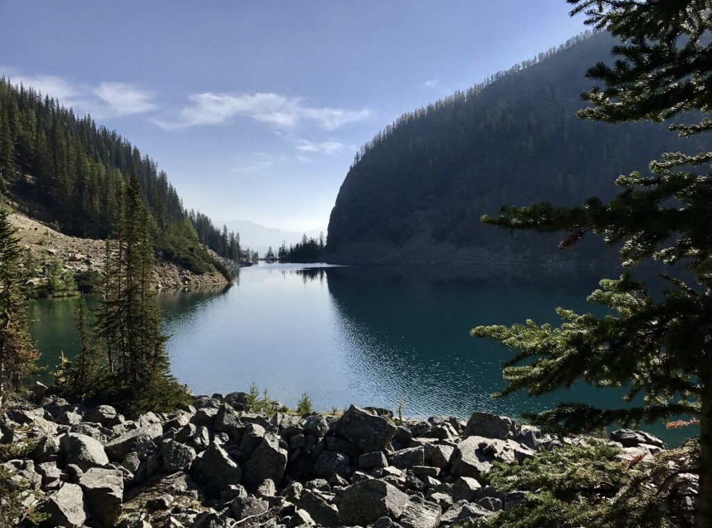
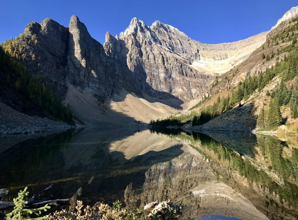
The Lake Louise area of the Canadian Rockies is known for two alpine tea houses: Lake Agnes and the Plain of Six Glaciers. Both have been around since the early 1900’s and serve up hot tea and snacks just when you need it (note: they only accept cash).
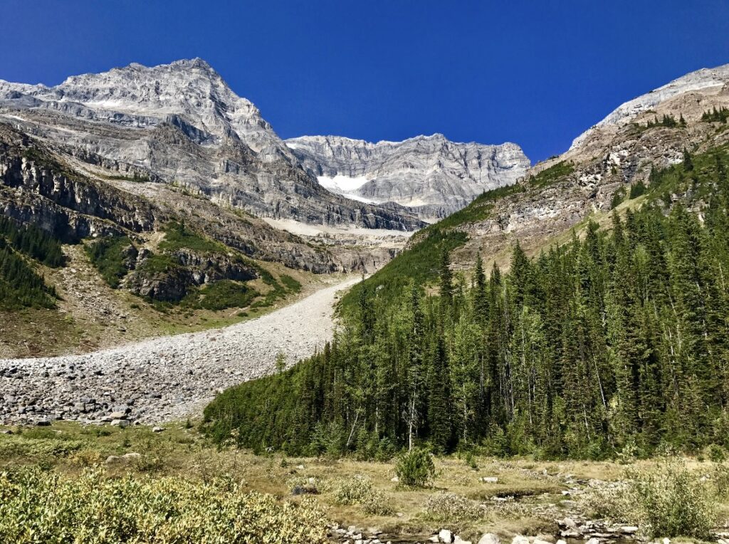
The hike to Lake Agnes is 4.6 miles with 1,467-ft of elevation gain and is rated moderate. If you’re only looking to hike to one Tea House, the other option would be to hike to the Plain of Six Glaciers. This trail is 9.1 miles with 1,929-ft of elevation change and is also considered moderate. Both trails start and end at the Lake Louise trailhead. We decided to use some of the other trails in the area to connect the two out-and-back trails into one big loop following the path from Lake Louise to the Lake Agnes Tea House then to the Big Beehive Viewpoint and finally, the Plain of Six Glaciers Tea House. From what I remember, the hike should have been around 11 miles, but ended up being closer to 13 miles. There’s just under 2,000-ft of elevation gain throughout this hike. Our campground had showers which was much needed after a day of hiking.
Highlights of the Day
- Lake Agnes Tea House
- Plain of Six Glaciers Teahouse
- Camp at Lake Louise Campground
Day 5 – Banff National Park
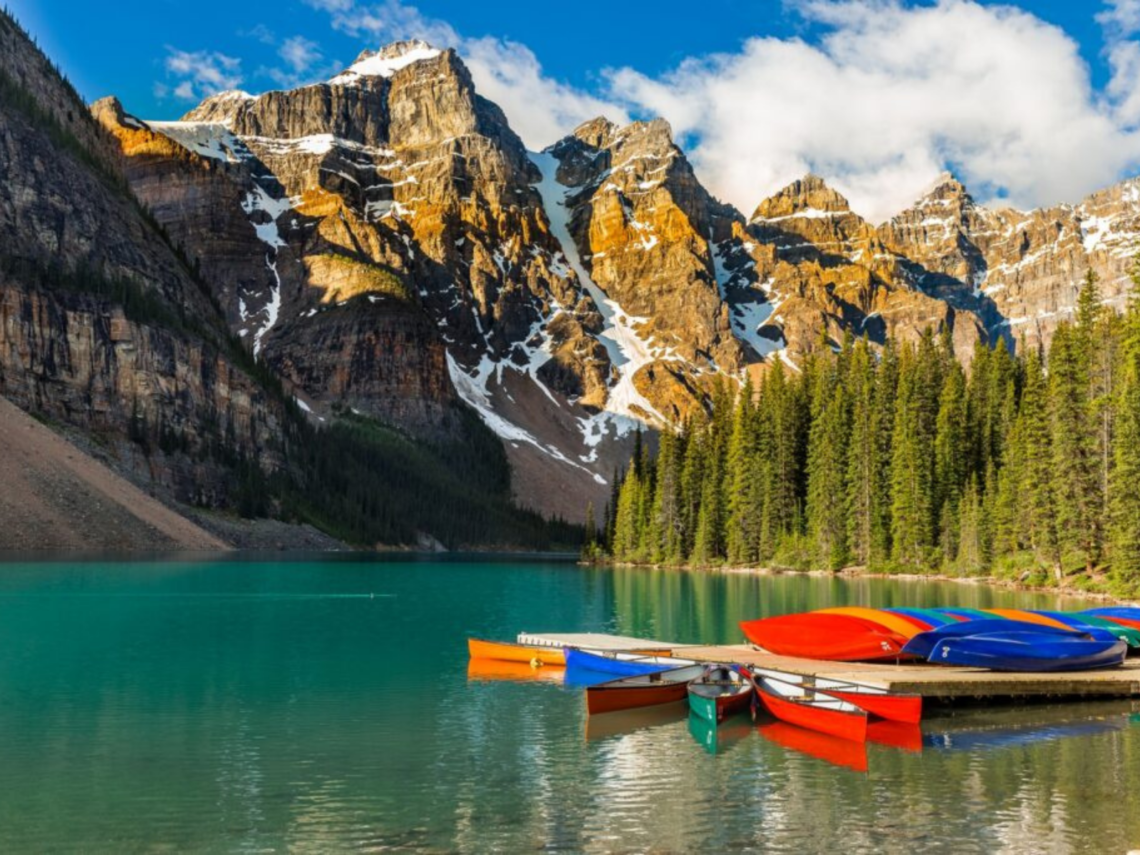
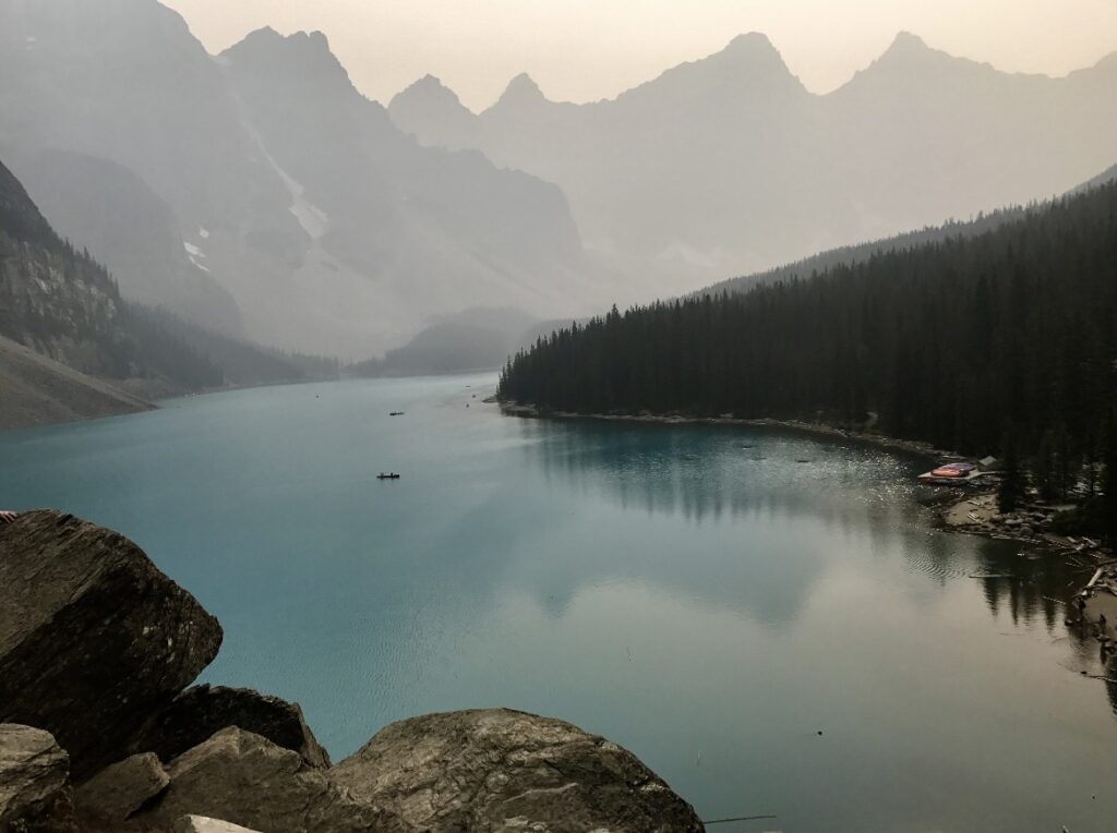
Another very popular stop in the Canadian Rockies is Moraine Lake, which is the cover photo for this post. There are a few short trails in the area and parking is limited to be sure to head here to start your day. First, there’s the Moraine Lake Shoreline Trail which is 3.2 miles long and has 902-ft of elevation change. The most elevation change is on the other end of the lake, just before you turn to head back to the trailhead so it’d be easy to not do that part. Next, you’ll find the Rockpile Trail. It’s not much of a trail, rather a pile of rocks you can climb up to get the quintessential photo of Moraine Lake with the peaks in the background. Unfortunately for us, the smoke was bad again this day, so we didn’t spend too much time here.
Highway 1, also known as the Trans-Canada Highway is the road that runs through the Canadian Rockies and subsequent parks and includes the portion known as the Icefields Parkway. Between Lake Louise and the town of Banff, the Bow Valley Parkway runs parallel to Highway 1. About halfway between the lake and town there’s an intersection where you can head west to Kootenay National Park or cross the Bow Valley River to the east and explore Castle Junction. We were camping at the nearby Johnston Canyon this night, so we wanted to explore this area for the day.
Bow Valley Parkway is known for wildlife viewing opportunities. Since we were there in September, the elk rut was in full swing so to capitalize on the time of year, we spent most of the day driving this parkway stopping at viewpoints and waiting to see if we saw any wildlife. Highly recommend bringing binoculars on a trip like this!
Highlights of the Day
- Moraine Lake
- Castle Junction
- Bow Valley Parkway
- Camp at Johnston Canyon Campground ($30)
Day 6 – Banff National Park
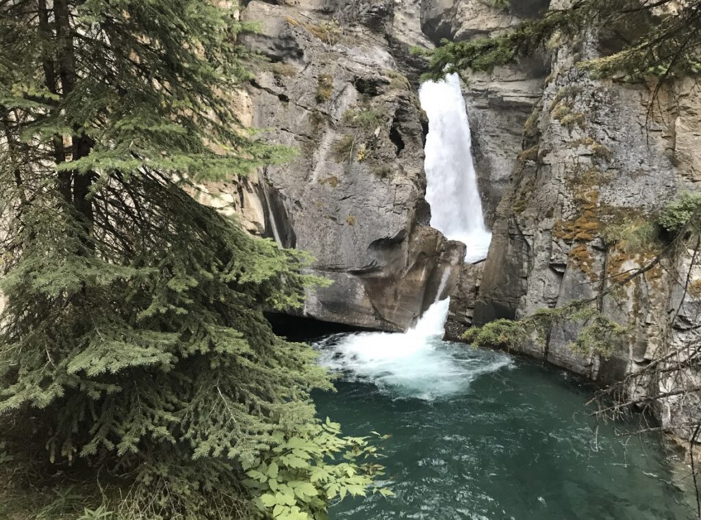
One of the more popular spots along the Bow Valley Parkway is the Johnston Canyon Falls. On the sixth day of our trip, we headed to the trailhead early in the morning to hike to the Lower and Upper Falls in Johnston Canyon. This hike is rated moderate at 3.2 miles out-and-back with 859-ft of elevation change. Both of the waterfalls are beautiful. We loved seeing all of the canyons throughout the park, they were all very unique and organic.
Next, we headed to the town of Banff. Our plan was to rent bikes and ride them around Lake Minnewanka. The trail is 35.5 miles long along the shoreline and very well defined. But, we did not look at the trail profile. There’s 4,416-ft of elevation change and the trail zig-zags for its entire length. My bad! When I chose this trail, I thought it was going to be a nice and easy bike ride. Instead, we stopped at Two Jake Lake, right nearby and walked the 2 miles along the shoreline with only 603-ft of elevation change.
After our few days of hiking and camping we couldn’t wait to get to our hotel for the night and get cleaned up. We stayed at the Juniper Hotel on the north side of the highway from Banff. We wanted somewhere quieter where we could relax towards the end of our trip instead of staying right in town. The hotel had incredible views of the town of Banff, the surrounding lakes and the peaks of the Canadian Rockies. That night we ate at the Bear Street Tavern and had the best pizza I’ve ever eaten. Have you ever tried pulling chili oil and honey on pizza?
Highlights of the Day
- Lower and Upper Falls at Johnston Canyon
- Lake Minnewanka & Two Jack Lake
- Bear Street Tavern
- Stay at The Juniper Hotel (varies between $100-300 depending on the day of week and season)
Day 7 – Banff National Park
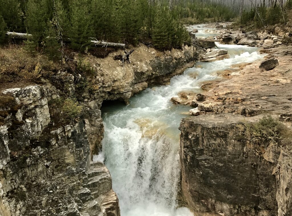
On the last full day of our trip, we gave ourselves two options. We could rent a canoe and explore the Vermillion Lakes then hike the Fenland Trail around the shore or head south and hike the Grassi Lakes Trail. The Fenland Trail is 1.1 miles long loop with 180-ft of elevation change whereas the Grassi Lakes Trail is a 2.1 mile loop with 583-ft of elevation change.
We were more interested in hiking this day, so we headed to the Grassi Lakes Trail. Unfortunately, the trail was closed due to recent bear activity in the area. The trailhead is right near the town of Canmore, so we headed there to get some breakfast. We got bagel sandwiches from the Rocky Mountain Bagel Company that were to die for. Having already started in the direction of Calgary, we decided to head that way. The forest fire smoke was bad so we were hopeful it would be better in the city and we could explore Calgary
Who would’ve guessed, but no the smoke was not better in Calgary. At this point, we were pretty defeated so we headed to the hotel to get cleaned up and re-pack everything for our flight home in the morning. The last night of our trip was spent watching movies eating Dairy Queen, and it was perfect. We were heading back to reality (and long-distance) so it was really nice to let our legs rest and look through all of the photos we had taken over the last week.
Highlights of the Day
- Canoe in the Vermillion Lakes
- Rocky Mountain Bagel Company
- Grassi Lakes Hike
- Stay at the Acclaim Hotel Calgary Airport (on average $100)
Day 8 – Travel Day
Having arrived in Calgary the previous evening and staying near the airport, our travel day heading home was seamless. This trip gave us a lot of quality time, a chance to spend time in the mountains and make memories that we will cherish forever. Travel over the last two years hasn’t been easy, or even conceivable for some, but I hope one day soon more of you can enjoy this place.
