Ultimate Guide to Rocky Mountain National Park
When I fist moved to Denver, I couldn’t wait to visit Rocky Mountain National Park. Over the years, I’ve visited many times especially in the beginning (before dogs). Family and friends have visited wanting to see the park and my husband and I have been on our own, so it’s safe to say that we’ve seen most of what the park has to offer.
Planning Your Trip
There are a few things to keep in mind if you plan a visit to Rocky Mountain. First, a day pass is $30 and an annual pass to all National Parks in the US is $80. If you plan on visiting for a few days, especially if camping in the park, it makes sense to get the annual pass. Secondly, the park has a shuttle system that runs throughout the summer. If you’re not camping in the park or you don’t arrive early, you’ll want to park at the park-and-ride lot and take the shuttle around the park.
There are three entrances to Rocky Mountain. One entrances is from the southwest side of the park in the town of Grand Lake. The other two entrances are on the east side of park in Estes Park. Grand Lake is 2 hours from the city and Estes Park is 1.5 hours from Denver.
For 2022, the park is continuing Timed Entry Tickets. There are two options: with or without Bear Lake Road. For the tickets with Bear Lake Road, you don’t need a reservation for entry before 5am or after 6pm. You don’t need a reservation before 9am or after 3pm for tickets without Bear Lake Road. If you’re camping in the park, you don’t need a Timed Entry Ticket.
The Bear Lake area of the park is by far the most popular. All of the hikes I’ve done in the area are incredible. Be sure to check out the trail descriptions below or the Bear Lake Area Map when planning your trip! But don’t hesitate to explore more of the park, the hikes in the other areas of the park are also amazing.

Camping in Rocky Mountain
There are five campgrounds within Rocky Mountain National Park. Four are reservable: Moraine Park, Glacier Basin, Aspenglen, and Timber Creek. The fifth, Longs Peak Campground and is first-come, first-served. We’ve stayed at Moraine Park and Glacier Basin within the park, and have enjoyed both! One thing to note – dogs are allowed in the campgrounds and on paved surfaces but not on the trails.
Moraine Park Campground
Moraine Park has 244 campsites and can accommodate RV’s and tents. The campground is located within Beaver Meadows. From the campground, you can access the trailheads for Fern Lake and Cub Lake.
Glacier Basin Campground
The Glacier Basin Campground has 150 spots and is located across the road from the Park-and-Ride further into the park towards Bear Lake from Moraine Park Campground. The campground can accommodate tents and RV’s.
Hiking in Rocky Mountain
Bear Lake Area
Nymph, Dream and Emerald Lake
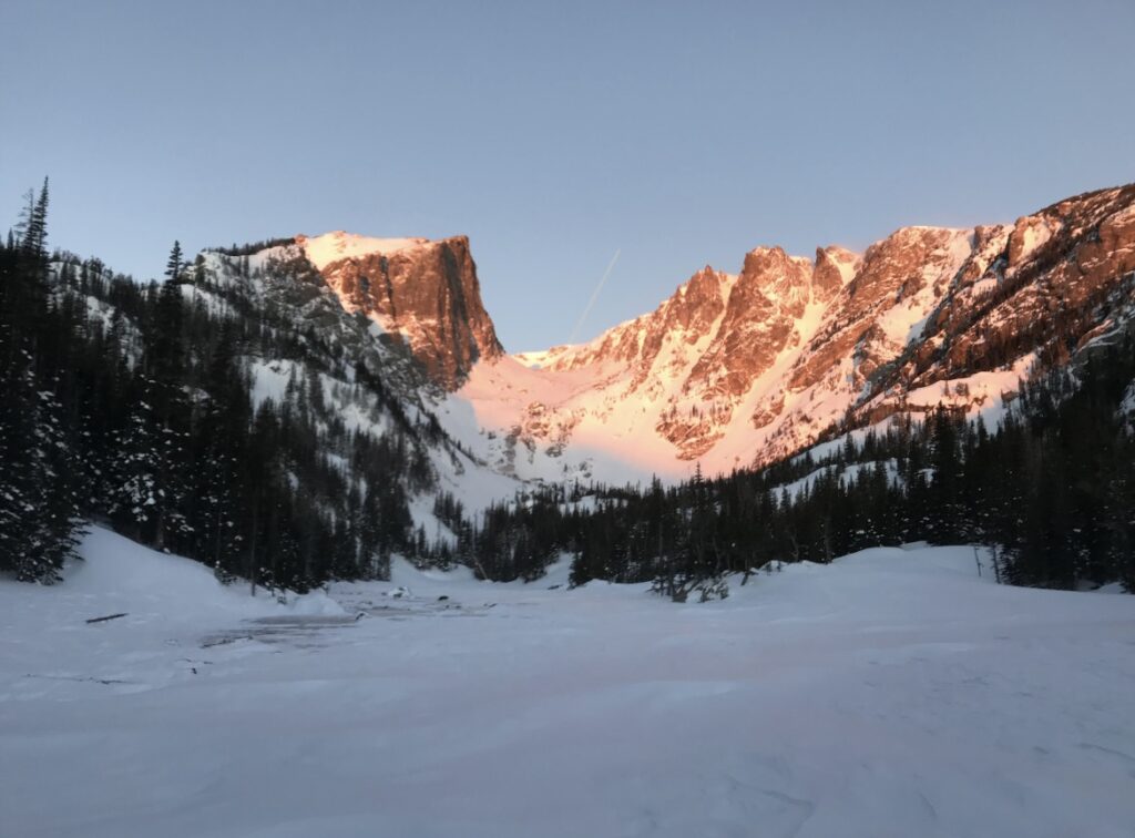
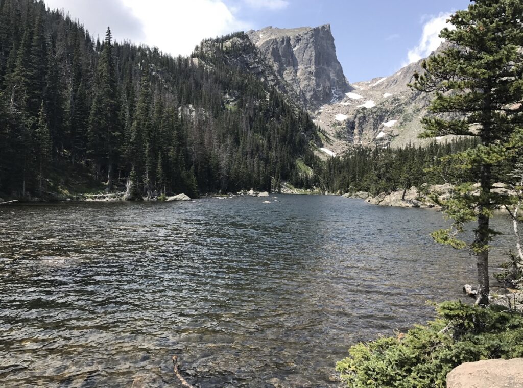
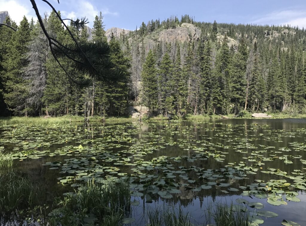
An easier hike from the Bear Lake Trailhead with incredible views is the Emerald Lake via Nymph and Dream Lakes trail. This hike is 3.2 miles out-and-back with 698-ft of elevation change. It’s considered a moderate hike. The first lake you’ll reach is Nymph Lake. Second, is Dream Lake with is about 1 mile from the trailhead. Another 0.6 miles beyond Dream Lake is Emerald Lake.
This trail is also a great option in the winter. The snow gets packed down, so if you have micro-spikes you’d be all set.
The Loch and Sky Pond
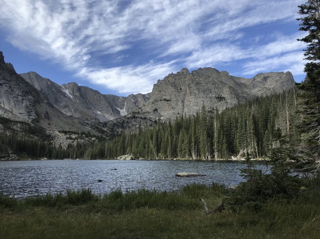
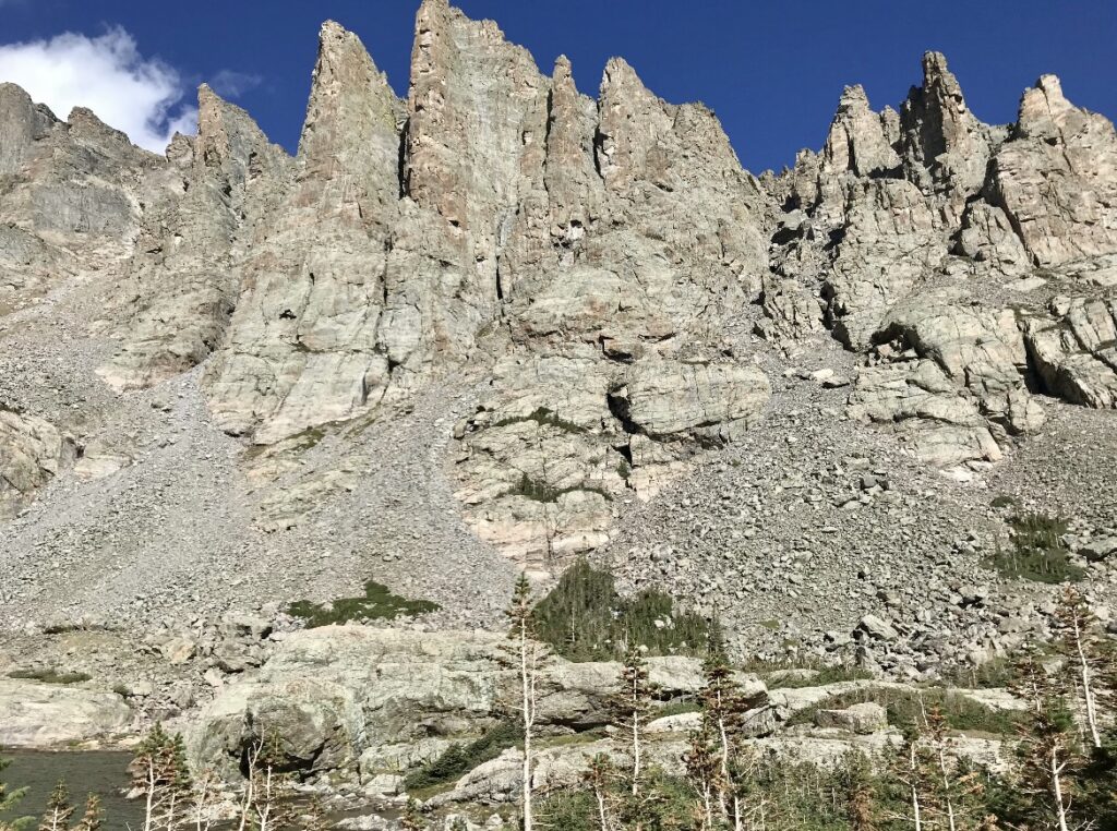
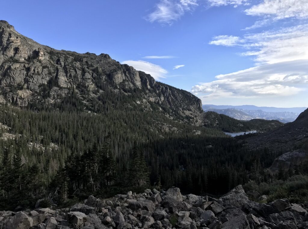
Another great option, if you’re interested in more of a challenge, is Sky Pond via the Glacier Gorge Trail. This hike is 9.4 miles with 1,758-ft of elevation change. Just before Bear Lake, there’s a pull-off for the Glacier Gorge trailhead which is where you’ll want to start. First, you’ll come to Alberta Falls which is a 30-ft waterfall close to the trail. Next stop, is The Loch which is a very scenic lake surrounded by pine trees. Word of caution, if you go in winter walk across the lake if you can. The trail is very hard to find in the snow. Getting to Sky Pond requires climbing up a small rock wall / waterfall which may seem a little sketchy but it so worth it! This trail is rated difficult.
Lake Haiyaha
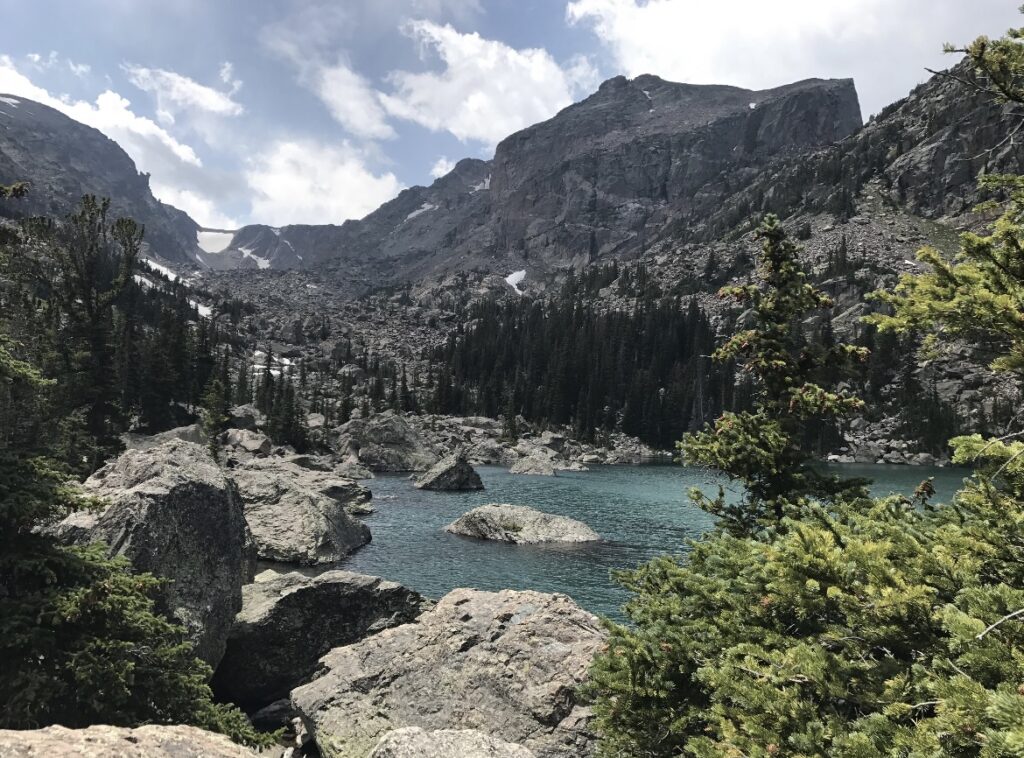
There is a trail that connects the Emerald Lake trail with the Loch Vale trail. The Four Lake Loop Trail is 6.8 miles with 1,332-ft of elevation change and starts at the Glacier Gorge trailhead. Past Alberta Falls there’s a fork in the trail and you’ll follow it to the right towards Lake Haiyaha. After the lake, you’ll continue to Dream Lake. From Dream Lake you can continue on further to Emerald Lake before heading back to the Bear Lake trailhead.
Another option is to take the Lake Haiyaha Trail roundtrip from Bear Lake which s 3.6 miles with 848-ft of elevation change which is moderate. For this option, you’ll turn left at Dream Lake and then head back towards Bear Lake after getting to Lake Haiyaha.
Lake Helene, Odessa Lake and Fern Lake
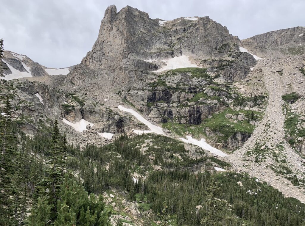
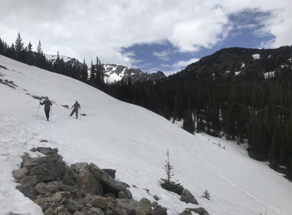
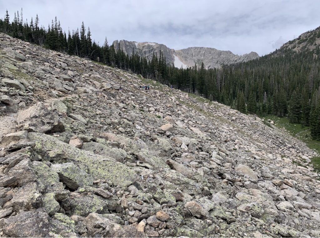
We did this hike twice in one summer, and the difference was insane. The photo below on the left is in June and on the right is in August, both are standing in the same spot. My family came out in June and had to come back to finish the hike after turning around due to post-holing in the snow a few too many times.
Initially, I had a hard time finding this trail on AllTrails. I knew the route we took, but there are so many options in the Bear Lake area of Rocky Mountain. Finally I found the right one, the Bear Lake to Lake Helene, Odessa Lake & Fern Lake Trail, which is 10.4 miles and has 1,368-ft of elevation change which is difficult. For this trail, we started at the Bear Lake Trailhead and followed the beginning of the Flat Top Mountain Trail before taking a fork towards Lake Helene. After this lake there are two more: Odessa Lake and Fern Lake before ending the hike at the Fern Lake trailhead near the Moraine Park Campground. This is a great hike to take advantage of the shuttle system in the park.
This hike was also much less busy than the hike to Emerald Lake. It’s more difficult and goes in a different direction. I don’t think we saw more than a few other people all day.
Bierstadt Lake
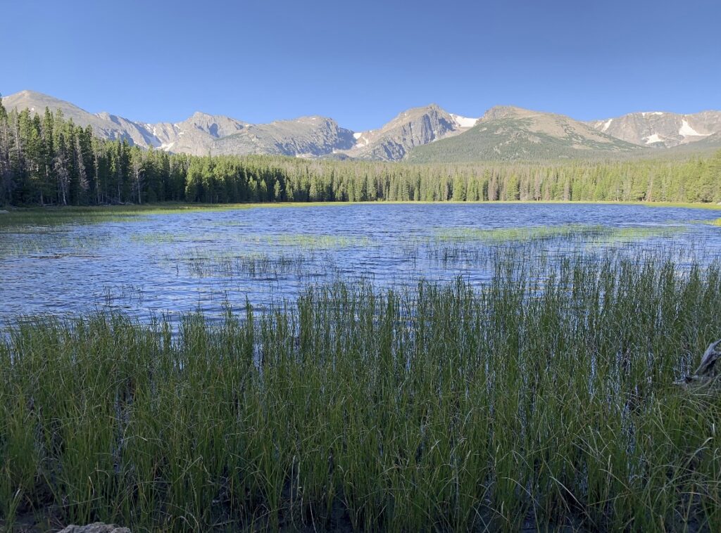
Another hike with a few route options is Bierstadt Lake. There’s a trailhead on the right side of the road before the Glacier Gorge and Bear Lake trailheads where you can hike the Bierstadt Lake Loop from. This options is considered moderate at 3.2 miles with 626-ft of elevation change. Another option would be to hike one-way from Bear Lake to Bierstadt Lake which is 3.6 miles with 591-ft of elevation change. The second link is a roundtrip hike, but if you use the shuttle system, one-way is a great option.
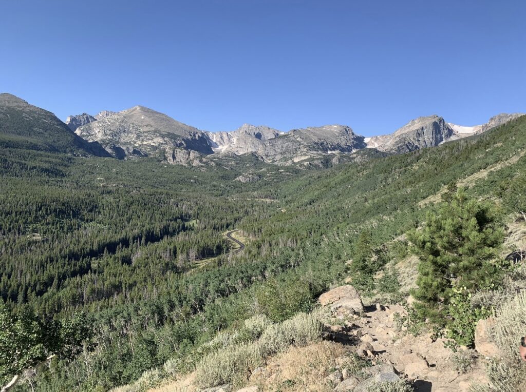
Mills and Black Lake
The only hike on the Estes Park side of the park that I haven’t done yet is the Mills and Black Lake Trail. This hike starts at the Glacier Gorge trailhead and cuts to the left at the junction for Loch Vale and Lake Haiyaha. The hike is 11 miles roundtrip with 2,529-ft of elevation change which is difficult. The trail would be shorter if you only go to Mills Lake or even Black Lake. The third lake, Frozen Lake, is the last lake before turning around, so the full distance includes all three lakes.
Flat Top Mountain
The Flat Top Mountain Trail is one of the more difficult hikes in the park. This hike takes you above Emerald Lake, which after hiking to Emerald Lake many times and seeing the surrounding lakes, the view was incredible. The trail is 8.4 miles with 2,870-ft of elevation change which is difficult. Another option would be to continue on past Flat Top and hike to Hallett Peak. This option comes in at 10.3 miles roundtrip and 3,293-ft of elevation change. It’s about an additional 0.6 miles and 420-ft to the peak one-way, so if you’re up for the challenge it’d probably be worth adding!
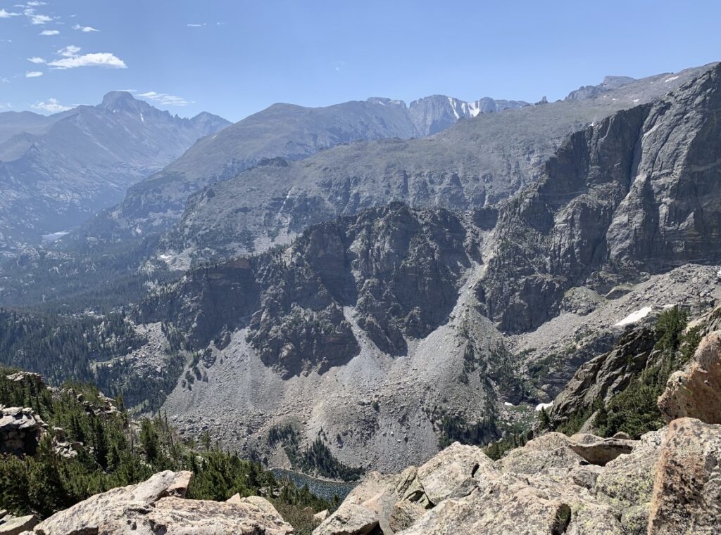
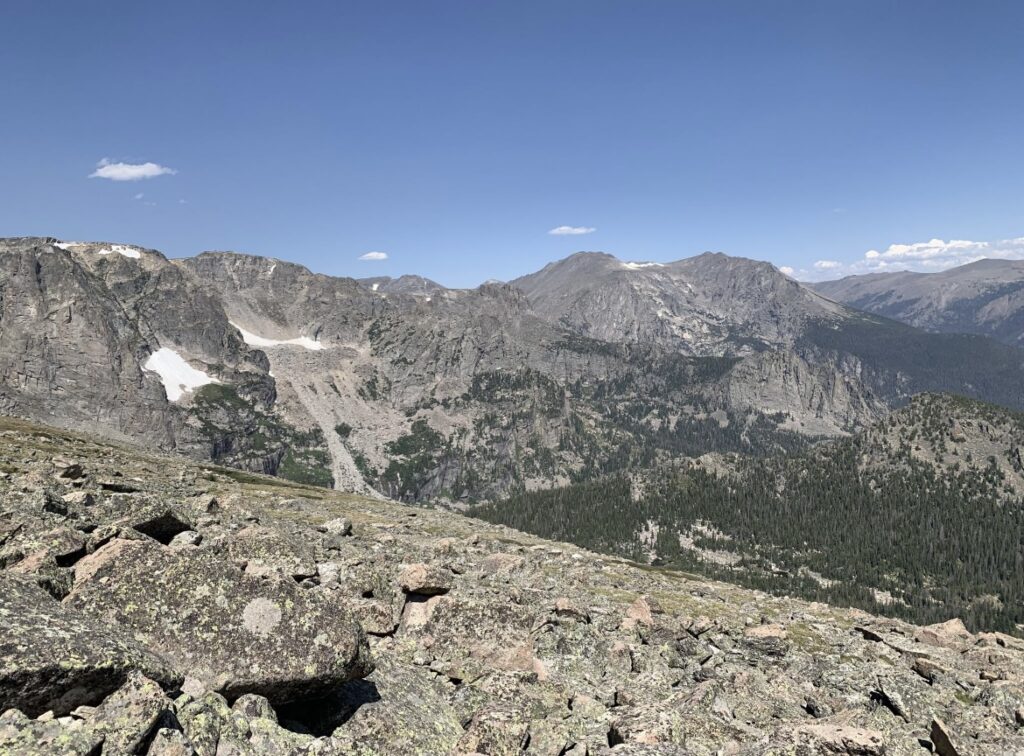
Other Areas in the Park
Cub Lake
An easier option from the Fern Lake trailhead, which is accessible from the Moraine Park campground is the Cub Lake Trail. This hike is 6 miles roundtrip and with 744-ft of elevation change, it’s considered moderate. We did this hike in the late afternoon and saw a ton of elk in the valley along the first mile or so of the trail. We stopped at the lake, and sat on a large boulder near the water for a while before heading back the way we came hoping to see the elk again.
Deer Mountain
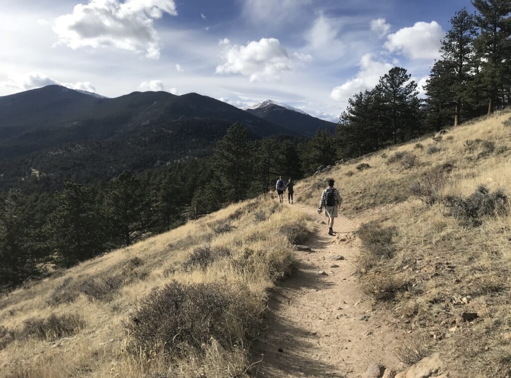
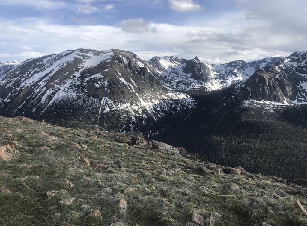
If the Bear Lake area is too busy one day, a great option is the Deer Mountain Trail. This hike is 6 miles roundtrip with 1,400-ft of elevation change and is rated moderate. There are a few parking spots along the roadway at the intersection of US 34 and US 36. This is where US 34 becomes Trail Ridge Road. We didn’t see many people on this trail and the views of Beaver Meadows and the surrounding mountains was incredible.
Trail Ridge Road
During the summer, when the road is open, Trail Ridge Road is a beautiful scenic drive within the park. The 48-mile road takes you from Estes Park to Grand Lake. The road peaks at 12,183-ft which provides 360-degree views of the park and takes you above most of the peaks. We’ve only driven to the Alpine Visitors Center and back to Estes Park and that section of the road isn’t scary, like some other scenic drives in Colorado, and has a handful of viewpoints to stop at along the way. If you’re prepared for a high altitude hike, there are various trailheads along the road as well.
Gem Lake
For a hike that starts outside of the park, check out the Gem Lake Trail. At 3.1 miles with 994-ft of elevation change, this hike is rated moderate. The trail takes you to a small lake and provides sweeping views of Estes Park. If you’re staying in the town, this is a great easy option.
Ozuel Falls
About 30 minutes south of Estes Park, there’s another entrance to Rocky Mountain just outside of Allenspark, CO. which is calledWild Basin. This area is smaller than Bear Lake but still has a few great options for hiking. The Ozuel Falls Trail is 5.9 miles with 1,062-ft of elevation change, is considered moderate, and takes you to a 40-ft waterfall.
From the falls, you can continue on to the Ozuel Lake Trail, which is a total of 10 miles with 1,683-ft of elevation change from the trailhead. Past the falls, it would be another about 2 miles and 621-ft of elevation gain. We’ve only ever hiked to the falls, but the lake looks awesome.
Another option in that area of the park that we haven’t hiked is the trail to Finch Lake. This trail is 7.3 miles with 1,522-ft of elevation change and is considered moderate. The lake looks beautiful in photos and based on the reviews, it might not be too busy.
Chasm Lake
Between Estes Park and Allenstown, you’ll find the Longs Peak trailhead. From here, there are two options: Chasm Lake Trail and the Longs Peak Trail. Longs Peak is the only 14er within Rocky Mountain. Longs Peak is considered a difficult hike at almost 15 miles and just over 5,000-ft of elevation change. Beyond that, the trail is a Class 3 14er. Side note – 14ers are peaks over 14,000-ft and there are 54 in Colorado (and an additional 4 “unofficial” ones). All of the 14er trails are all considered difficult. Beyond the difficulty rating, 14ers are classified as Class 1-5. Class 1 and 2 are doable without scrambling or rock climbing. Next is Class 3 which has some scrambling. Lastly, there are Class 4 and 5 which are really only for experts. I haven’t had any interest in hiking to Longs Peak, and it isn’t for the faint of heart.
The parking lot at the trailhead is on the smaller side and you’ll have to start early. A suggestion for 14ers is to be heading back to the trailhead and be close to treeline around noon, because of this most people try to start the trek to Longs Peak between 2-3am, so the parking lot fills up quickly. Luckily, we got the last spot right around 6am.
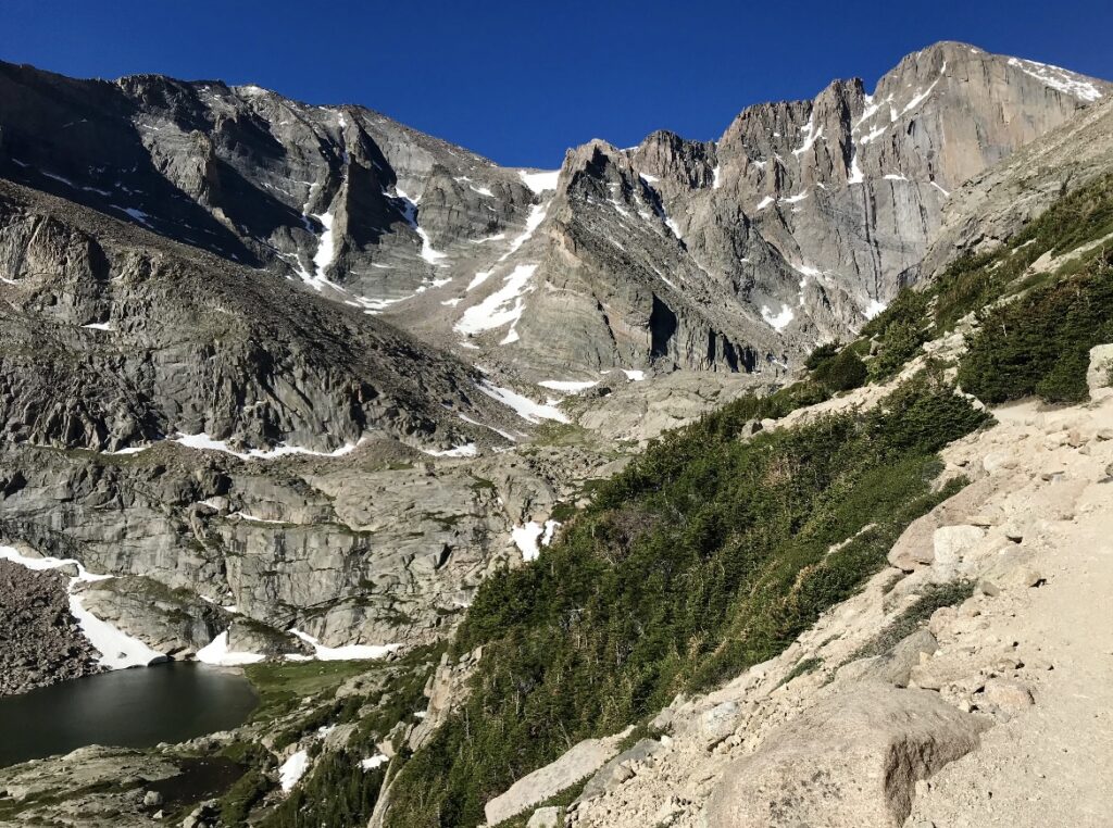
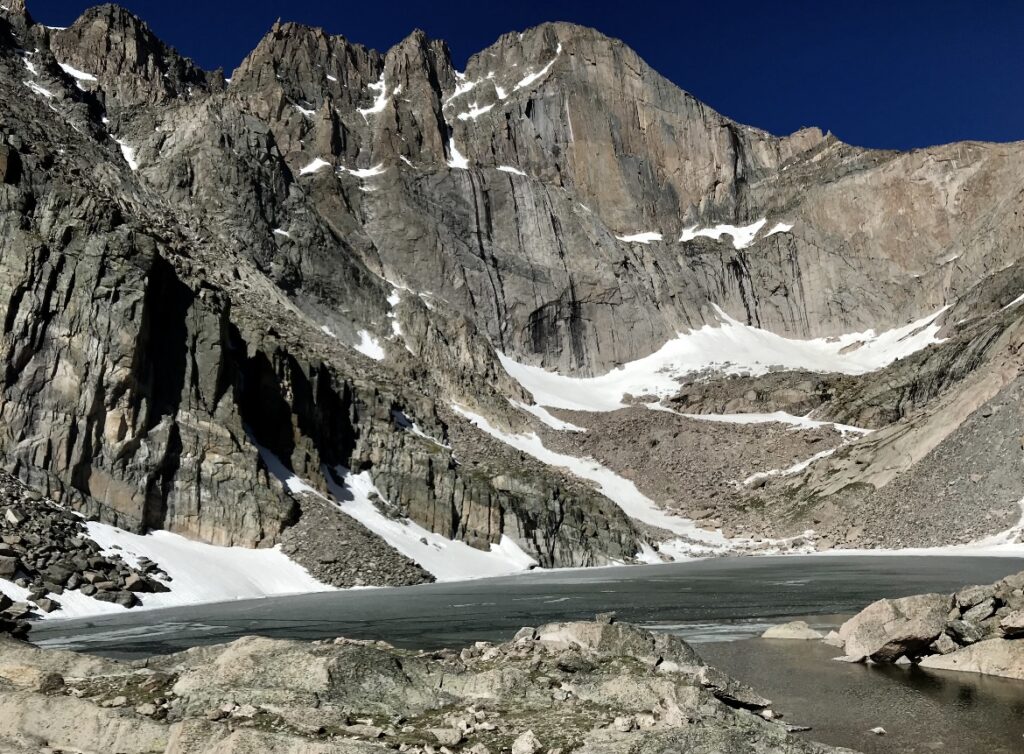
The trail for Longs Peak and Chasm Lake are the same until a fork in the trail at the boulder field. The trail to Chasm Lake is 8.8 miles with 2,542-ft of elevation change and is considered difficult. Views of the lake and from the trail are incredible. If you’re up for the challenge, this is a great hike.
Estes Park, Colorado
Of the two main towns near entrances to Rocky Mountain, we’ve only explored Estes Park. There are many options when it comes to staying the town including RV parks and campgrounds, hotels/motels, and cabins. A famous and historic option is The Stanley Hotel. Stephen King’s stay at the hotel inspired his book, and later the movie adaption of, The Shinning. You can stay at the hotel or take a tour, but either way it’s worth seeing
There are many storefronts to visit along Elkhorn Avenue (think a mini Main Street). There are clothing boutiques, souvenir shops, chocolate and candy stores, and restaurants. Normally, we don’t spend a lot of time in the town but are favorite restaurants are Claire’s Restaurant and Eds Cantina.


